3 / In the high country
Blowering Campsite to Henry Angel Trackhead (Tumbarumba)
Nearest towns: Tumut, Tumbarumba
A short distance from the track, Tumut is on the banks of the Tumut River.
Walkers on this scenic section will follow its path into the vast Blowering Reservoir, which is three times the size of Sydney Harbour.
The three-day hike from Talbingo to Tumbarumba brings on a hitlist of beauty spots, including towering sub-alpine forests, Paddys River Dam and the historic Buddong Hut.
The day walk within the Kosciuszko National Park from Jounama Pondage to Buddong Falls is a picturesque section where birdwatchers can spy vivid parrots during the day, while campers will discover that gliders, possums and red-necked wallabies revel in the night.

Highlights


Estimated walk times
SECTION 3 / Blowering Campsite to Henry Angel Trackhead (Tumbarumba) : 97.5 km / 6 days (38 hrs) / Grade: Easy - Medium
Blowering Campsite to Browns Creek Campsite: 8.3 km / 3.5 hrs / Grade: Easy
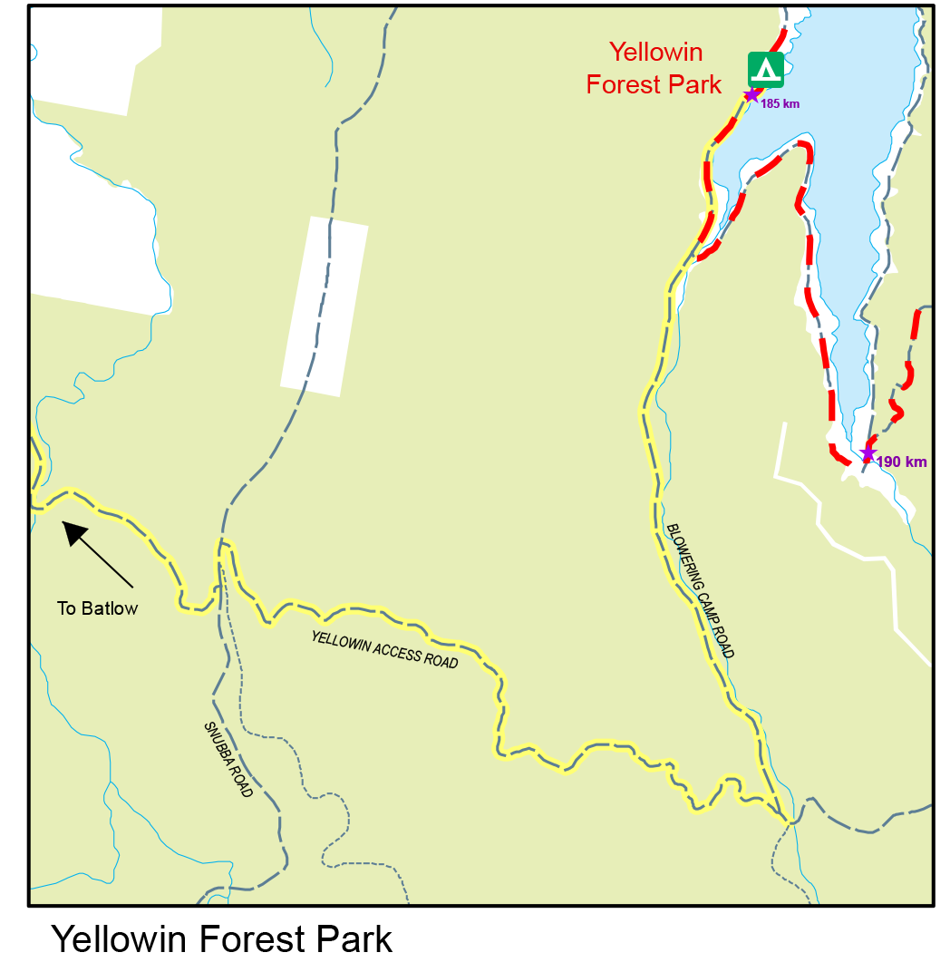
Browns Creek Campsite to Yellowin Forest Park: 22.4 km / 7.5 hrs / Grade: Easy
Yellowin Forest Park to Ben Smith Campsite: 14.0 km / 6 hrs / Grade: Medium
Ben Smith Campsite to Buddong Falls Picnic Area: 11.3 km / 5 hrs / Grade: Hard
Buddong Falls Picnic Area to Paddy’s River Dam Campsite: 14.4 km / 5.5 hrs / Grade: Medium
Paddy’s River Dam Campsite to Junction Campsite: 21.0 km / 8 hrs / Grade: Easy
Junction Campsite to Henry Angel Trackhead: 6.0 km / 2.5 hrs / Grade: Easy
Maps and downloads
Map 3 - Blowering Reservoir to Henry Angel Trackhead

How to access the track
The vast majority of Track access in this section is on Forestry roads. Please check road conditions before embarking on your trip.
Snowy Mountains Highway // The Track can be accessed from the Snowy Mountains Highway 10kms from Tumut where it meets Tumut Plains Rd
Blowering Dam Wall // There is easy access to Blowering Dam wall from Tumut via the West Blowering Dam Road then on Blowering Dam Access Road. The Track heads up the dam wall from Brandy Mary Park.
Browns Creek Campsite // a short walk in off the northern end of Foreshore Road. Foreshore Road is accessed via Batlow. Head towards Blowering Dam via Yellowin Access Road. Turn left onto Snubba Road at the top of the hill. Turn right onto McDonald’s Trail, left onto Blowering Camp Road then left onto Foreshore Road. Follow Foreshore Road until the road narrows and begins to head uphill away from the dam. The Hume and Hovell Track to Brown’s Creek Campsite is signposted and on the right.
Blowering Foreshore // The Track follows the Foreshore Road for the length of the western foreshore of Blowering Dam. The Foreshore Road can be accessed via Yellowin Access Road or Macdonalds Trail off Snubba Road out of Batlow.
Yellowin Creek // Access from Batlow – On to Snubba Road into Yellowin Access Road then to Blowering Camp Road
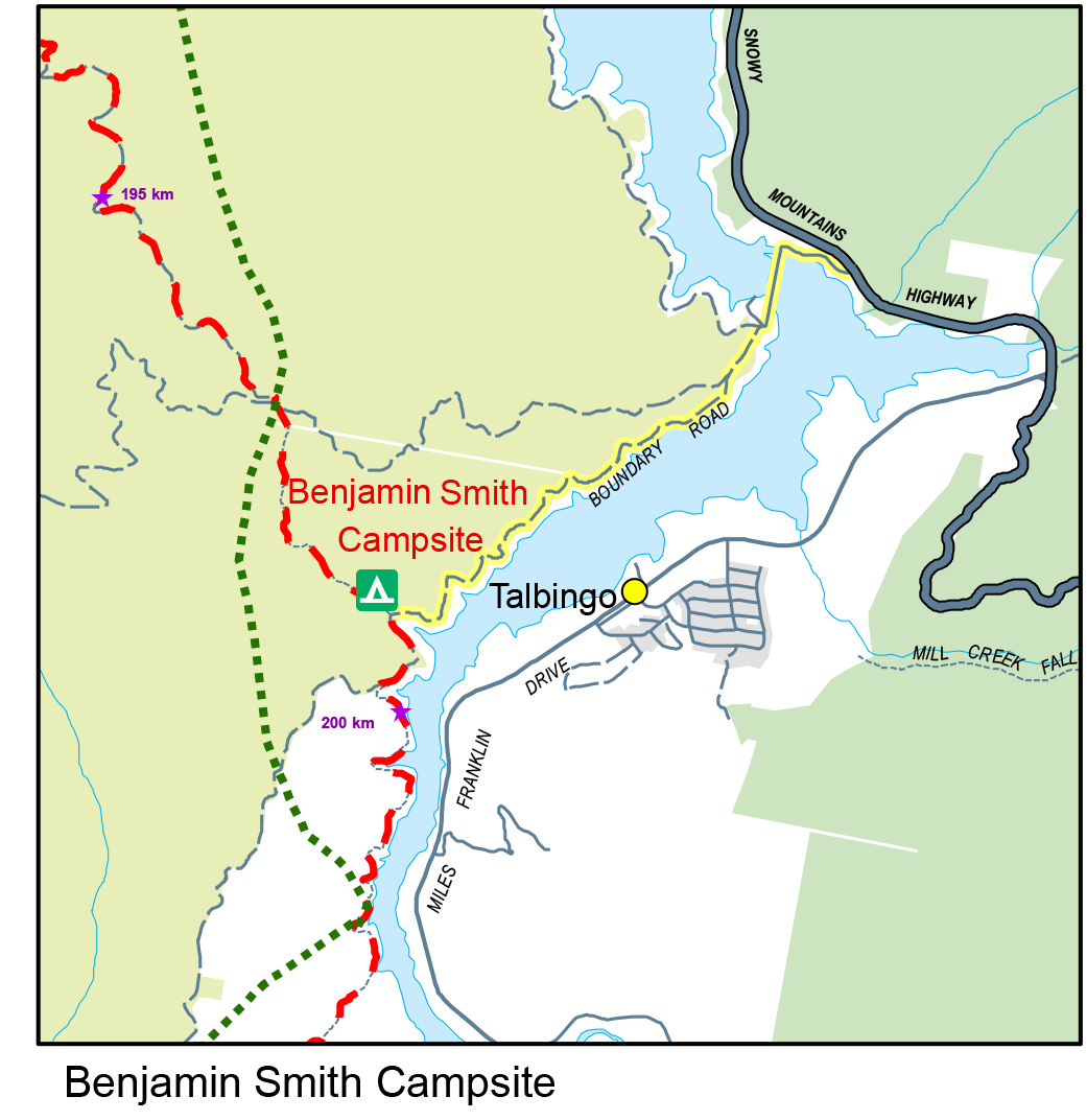
Ben Smith Campsite // enter from Talbingo side - Snowy Mountains Highway turn off at Jounama Dam Wall on to Boundary Road, drive to the track to get into Ben Smith Campsite
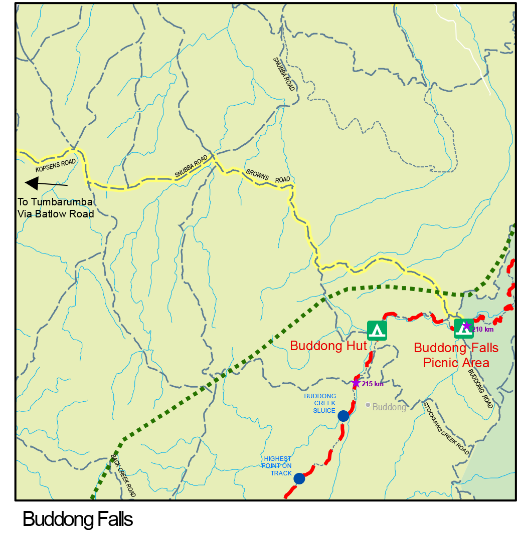
Buddong Falls // Access to Buddong Falls is via Kopsens Road at Laurel Hill which becomes Bago Forest Way. Turn left onto Snubba Road then turn right onto Bullongra Road. Continue straight on Bullongra Road onto Browns Road. Eventually turn left onto Buddong Road which takes you to Buddong Falls Picnic Area.
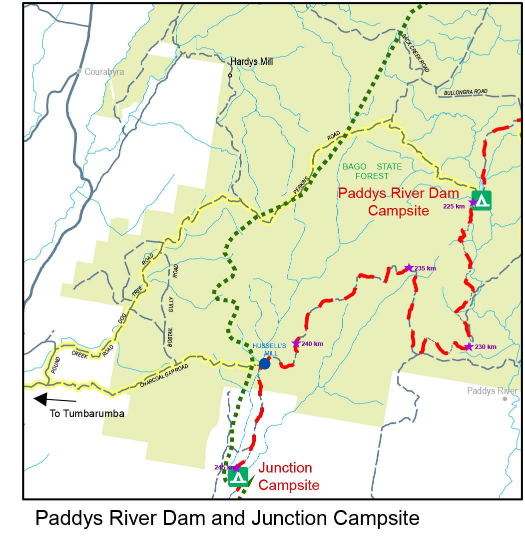
Paddy's River Dam // Tumbarumba to Elliott Way, Bago Powerline Road to Ash Creek Road to Bullongra Road to Hardys Road to JDX to Houlihans Track. Or access from Tumbarumba is via Dog Tree Road to Bannons Road to Hardys Road to JDX to Houlihans Track
Charcoal Gap Rd // Tumbarumba to Pound Creek Rd, on to Dog Tree Rd, The Boulevarde, Bobtail Gully Rd, to Charcoal Gap Road. Finish at Hussels Mill Site.
Note – you need to check road access before heading out to Bago Forest - Access is via Forestry roads and is 4WD only in winter. https://www.forestrycorporation.com.au/visit/forests/bago
Nearby campsites


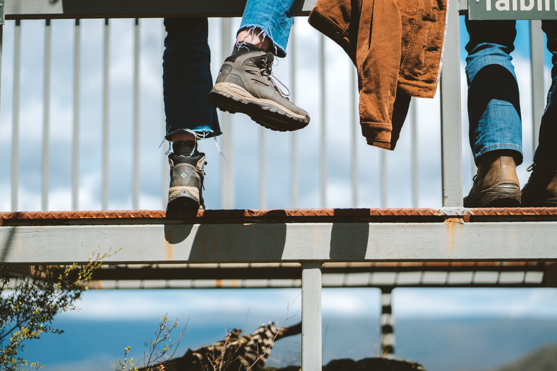
Walking notes

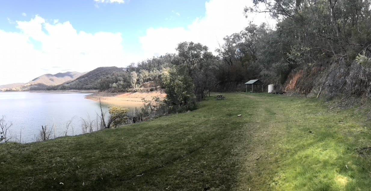
Above: Blowering Dam
From Blowering Campsite it’s 8.3km along single track to Browns Creek Campsite along to the western shore of Blowering Reservoir.

Above: Jounama Pondage
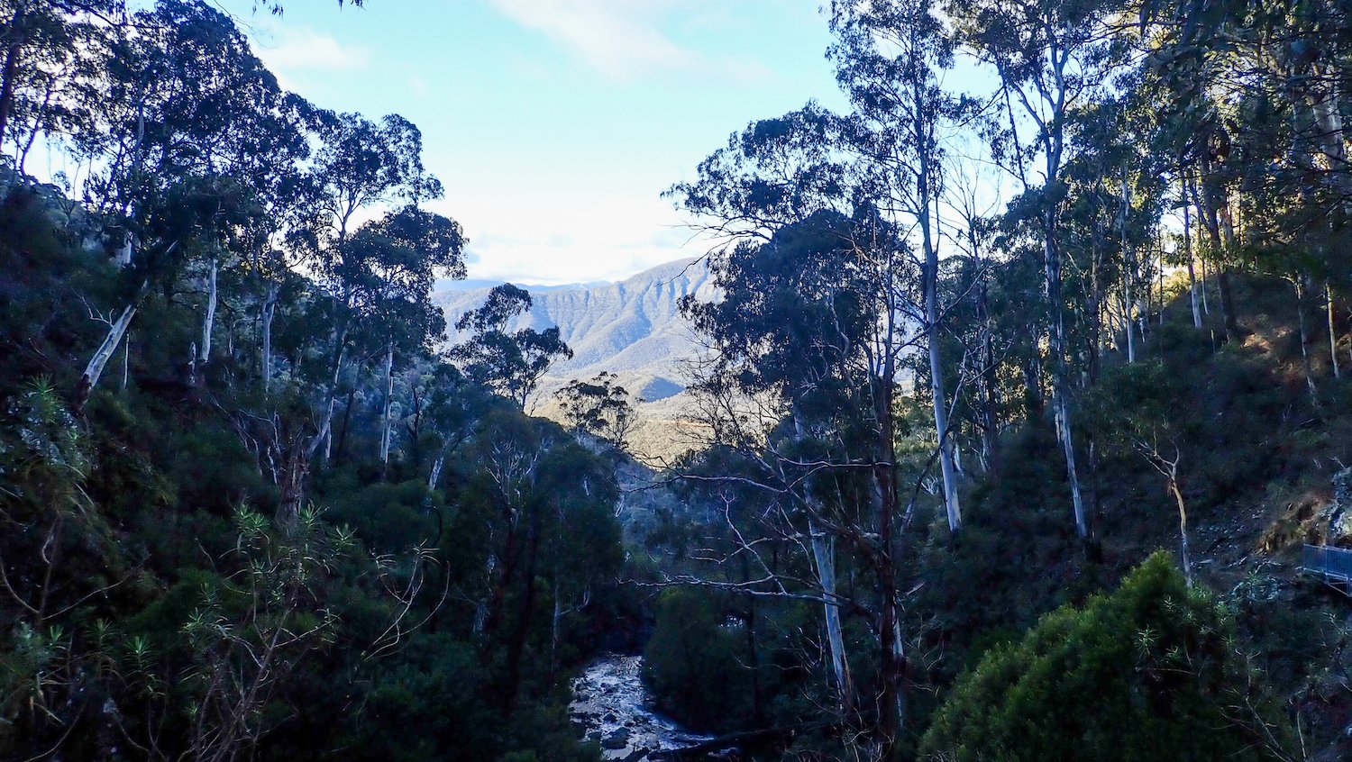
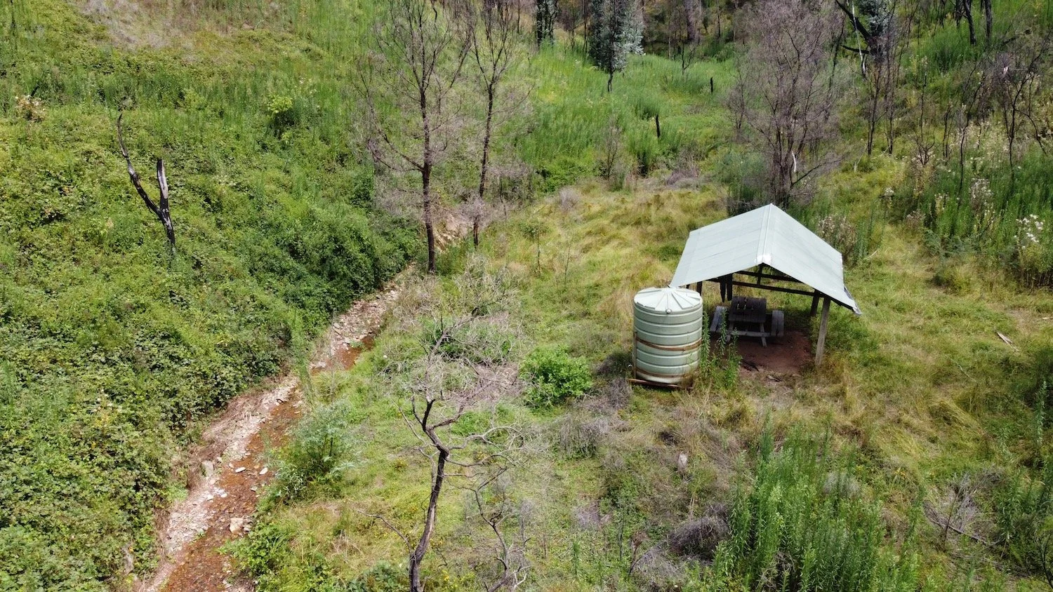
Beyond Browns Creek Campsite, the walking track continues along forestry foreshore firetrails of the reservoir. Camping is not permitted in the pines, but there are a number of excellent campsites between the road and the water. Most have grassed areas, excellent shade trees, picnic tables and toilets.
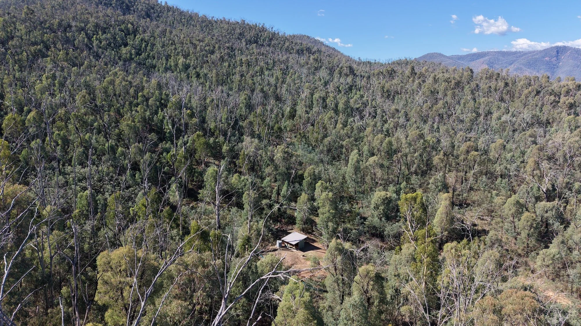
At the southern end of the reservoir, the track climbs Gurkeroo Ridge and passes through Benjamin Smith Campsite before reaching the water of Jounama Pondage. The track continues through open farmland to the west of the reservoir for a couple more kilometres across open country towards the densely wooded base of a climb that leads into Kosciuszko National Park. The park boundary is approximately 500m in from the fenceline and the track heads towards Buddong Creek and eventually Buddong Falls.
Approximately 5km after entering the forest is the Buddong Falls Picnic Area requiring a tough 300 metre climb. A short side track, on the right, can be used to access the Lower Buddong Falls.
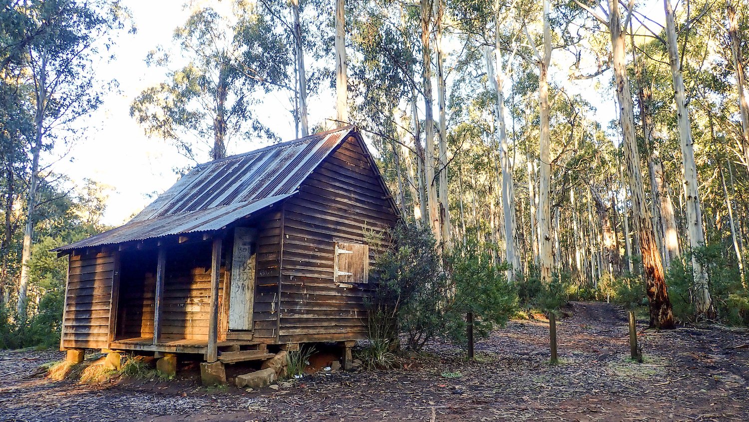
After crossing Buddong Road, the track continues to follow Buddong Creek upstream on a short length of single track through some dense eucalypt forest before emerging on firetrail and crossing it again at Buddong Hut. The track continues to Paddys River Dam Campsite, mostly on single track, which is about 14km from the Buddong Falls Picnic Area.
From the dam the next 15km of the track is on, or close to, the old water race. The more open areas around Paddys River Dam and Coffee Pot are a favoured haunt for brumbies, and the area supports a large and diverse bird population.
When Middle Ridge Road and West Burra Creek are reached, you exit the Bago State Forest and enter private pine plantations and later on, grazing lands. Evidence of extensive mining operations (gold and tin) will be seen as the creek is followed.
Junction Campsite, at the junction of East and West Burra Creeks, is 21km from Paddys River Dam Campsite. It’s another 6km, through areas worked and reworked for gold and tin, to reach the Henry Angel Trackhead which is on Tooma Road, 8.6km from Tumbarumba and the gateway to the next section on Map 4.