Track development history
The idea of a walking track following the route of the Hume & Hovell expedition arose in the Wagga Wagga Office of the Department of Lands in the late 1970s. The Department began to determine the explorer's actual route and who held titles to the land between Gunning and Albury.
It was found that much of the explorer's route passed through Crown land, state forests, national parks, reserves and land controlled by the department of Water Resources, while some was on private land. In the early 1980s actual construction commenced. The first sections to be built and brought into use were centred on Burra Creek near Tumbarumba. They were built with the co-operation and assistance of the then Tumbarumba Shire Council. However, it was the Australian Bicentennial celebration in 1988 that ensured the track’s construction. An application for funding was approved and a grant of $1.3 million was awarded.
The proposed track was to commence at Wooloobidallah, Hume’s outstation near Gunning and the starting point for the expedition on 18 October 1824, and finish at the Hovell Tree on the banks of the Murray River at Albury (the location reached by the expedition on 16 November 1824). However, track construction difficulties, a shortage of funds and lack of time resulted in the track being built from Wee Jasper to Woomargama on the Hume Highway. The 316 km track was officially opened by NSW Premier, Nick Greiner, on 14 November 1988, however since its opening, the track has been extended to Yass and Albury.
The track receives regular maintenance but it is likely that users will find trees and branches over the track in the heavily wooded areas, particularly after the winter season. As well, over time, and with funds being available, sections of the track are being rerouted to take them off public roads and improvements are being carried out, e.g. new boardwalks and bridges installed and shelter sheds being erected at bush campsites. Parklands Albury Wodonga established a section of track around Albury and the final link stretching north through farmland to the established track coming out of Woomargama State Forest at Tunnel road was opened in 1999 in time for the 175th anniversary celebrations.

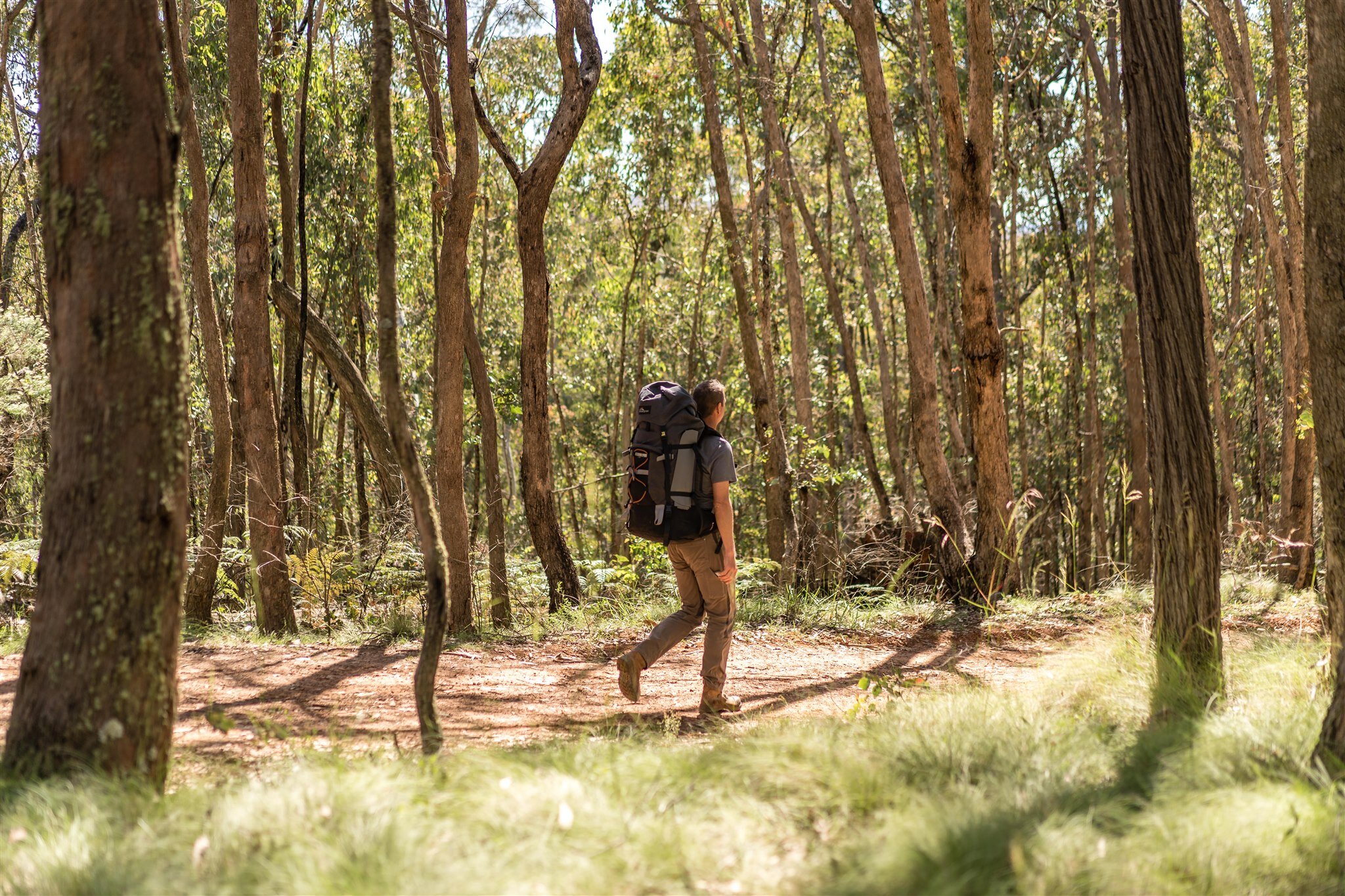
Above: Budginigi Hill, overlooking Lake Hume
In both 1988 and 1999, special walks over the full distance of the track were conducted. Both saw walkers cover the full distance, matching date, locality and daily distance to the 1824 expedition. The walking track was constructed as closely as possible to the explorers’ best determined route and much of it is less than 5km from where the explorers actually trod. At several places the two routes coincide and locations and features described by Hovell can be clearly identified. Some of these include Micalong Swamp, the western bank of the Goobarragandra River, Walls Creek, the saddle on Gurkeroo Ridge and the falls on Burra Creek.
Where possible existing fire trails, forestry service roads and other four wheel drive tracks were incorporated into the walking track. A few sections of public road had to be used and the balance, about half the track, is on constructed foot tracks. The track crosses the Goobarragandra and Tumut Rivers thanks to two pedestrian bridges over the Goobarragandra River and a suspension bridge over the Tumut River.
Minor streams required over 100 bridges and many sections prone to becoming wet and boggy have been spanned with boardwalks. A track logo, in the form of two, small stylised human figures, (see inset), representing Hume and Hovell, is displayed along the full length of the track to assist with track finding. At all trackheads and other places of access, signboards showing places, directions and distances have been erected. Where the track joins or crosses other tracks or roadways, directional bollards have been installed. If the track passes through areas of historical interest and significance, descriptive plaques have been erected.
ABOUT THIS WEBSITE
The photos, maps and other information on this site originate from the Department of Planning and Environment - Crown Lands NSW, Hume and Hovell Walking Track Map Kit, and from numerous auditing trips covering every section of the track since May 2015. Images featured are the property of Hume and Hovell and its representatives, with professional photography credited to Matt Beaver Photography.

Above: Thomas Boyd Trackhead, Goobarragandra river