4 / Following the gold rush
Henry Angel Trackhead to Tin Mines Campground
Nearest town: Tumbarumba
From Henry Angel Trackhead, step off the track and into Tumbarumba for cool-climate wine tasting and food grown in the vineyards around the township.
Returning to the trail, one of the most popular sections on the Track is the signposted day walk along the banks of the Burra Creek, where you can admire the remnants left by gold-rush fever, still visible today.
Further along the track you will find the peaceful Mannus Lake which is fed by alpine waters – a tranquil overnight camping spot before you venture onwards to Lankeys Creek and Tin Mines Campground in the foothills of Woomargama National Park.

Section 4 / Highlights


Estimated walk times
SECTION 4 / Henry Angel Trackhead to Tin Mines Campground: 81.9 km / 30 hrs
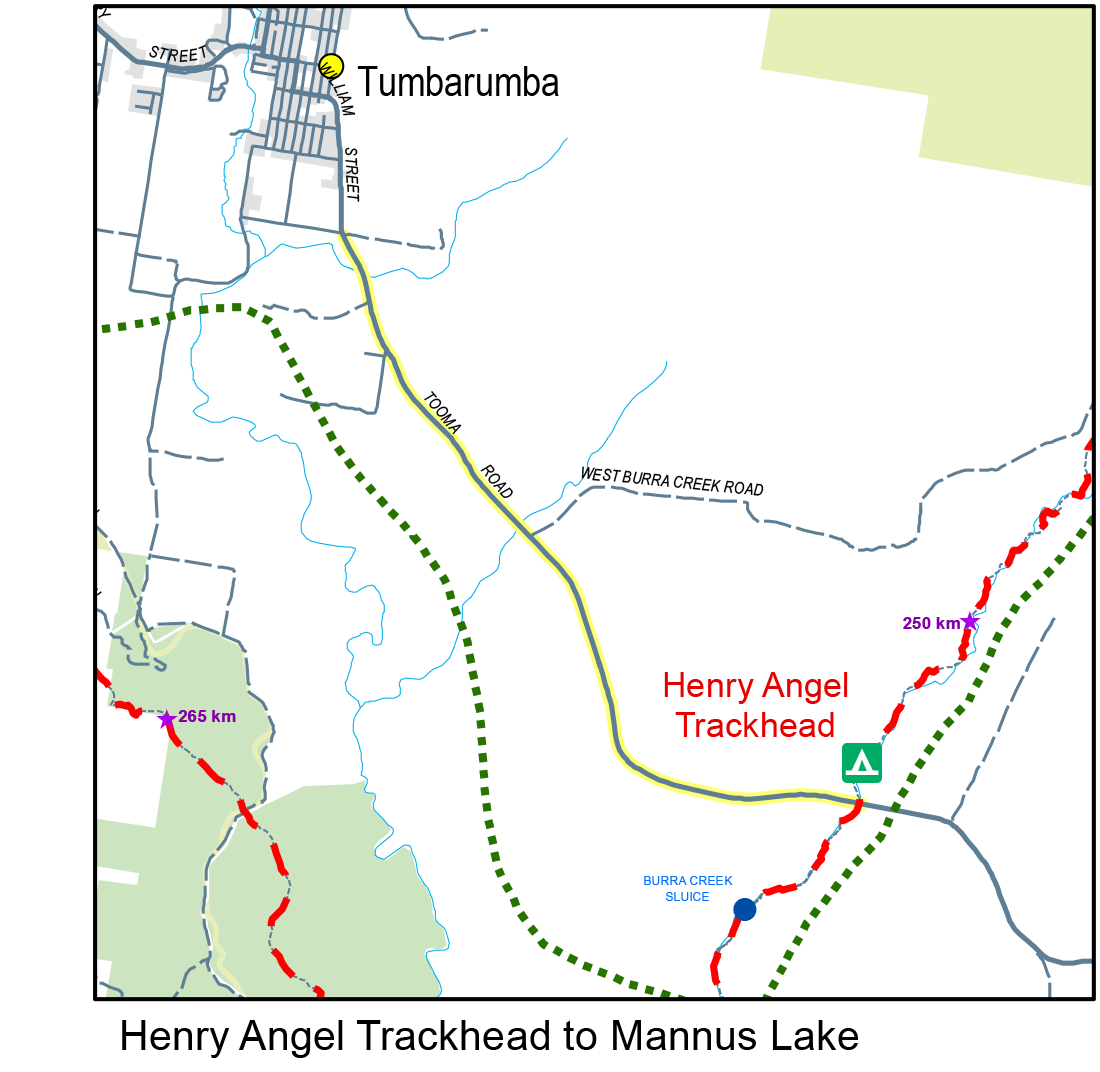
Henry Angel Trackhead to Mannus Lake Campsite (including Big Hill): 16.8 km / 6.5 hrs / Grade: Medium
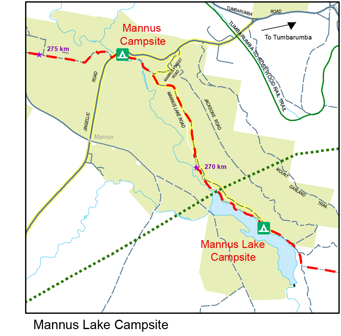
Mannus Lake Campsite to Mannus Campsite: 5.1 km / 2 hrs / Grade: Easy
Mannus Campsite to Munderoo Campsite: 12.6 km / 4.5 hrs / Grade: Easy
Munderoo Campsite to Lankey’s Creek Campsite: 26.5 km / 9.5 hrs / Grade: Medium
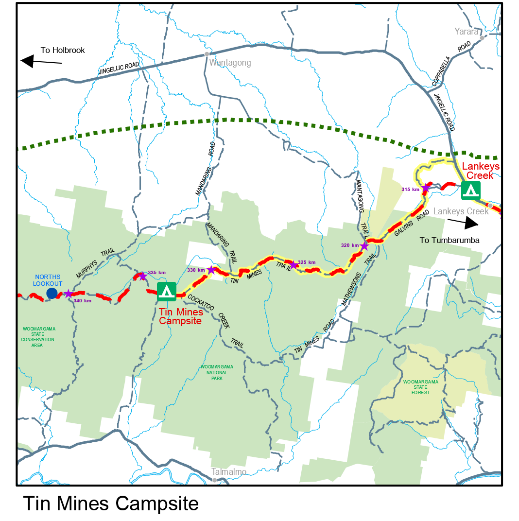
Lankey’s Creek Campsite to Tin Mines Campground: 20.8 km / 7 hrs / Grade: Medium
Maps and downloads
Map 4 - Henry Angel Trackhead to Tin Mines Campsite

How to access the track
Henry Angel Trackhead / accessed off Tooma Road, 8kms south-east of Tumbarumba. The Hume and Hovell Track crosses Tooma Road at Henry Angel Trackhead.
Mannus Lake / Mannus Lake is 10kms south-west of Tumbarumba, accessed via Jingellic Road, Mannus Forest Rd to Mannus Lake Road or Jingellic Rd straight to Mannus Lake Rd. Follow to the campground on the lake.
Mannus Campsite / is 5kms south-west of Tumbarumba on Mannus Lake Road, just off Jingellic Road. The Track crosses Jingellic Road over the Mannus Creek bridge.
Munderoo Campsite / can be accessed by vehicle but it is generally 4WD only. Access Mundaroo State Forest via Munderoo Road. Take the first road to the right and then turn right again. Follow that road until you see the Hume and Hovell Track bollard and campsite signage.
Munderoo / section is accessed off Munderoo Road. As you enter the forest turn left onto Blue Hills Road and the Track is just off the road on the left.
Pascoes Dam / is accessed via Pascoes Dam Road: turn left off Blue Hills Road. This is marked by a Hume and Hovell Track road sign.
Horse Creek / Take the next left after Pascoes Dam Road onto CPT 49 Link Rd. The Track crosses this road and is marked by bollards.
Burns Road / Turn left onto Burns Road off Blue Hills Road. The Hume and Hovell Track follows Burns Road for a section.
Carboona Gap / In Mundaroo Forest, turn left onto Blue Hills Road, left onto Burns Road, then right onto Hardys Road. Follow Hardys Road until you reach a stile over a new fence separating the pine forest from private property.
Lankey's Creek Campsite / is accessed via a sharp, slightly hidden, right hand turn off Jingellic Road, 8.7kms from the turn off from Tumbarumba/Jingellic Road turnoff. It is marked by a Hume and Hovell marker post. There is a little spot to park a vehicle and the campsite is over the fence and a short walk down to the creek.
Woomargama National Park
Eastern entrance / Turn off Jingellic Road onto Galvins Rd. Turn onto Galvin's Road and follow until the boundary with the National Park, marked by NPWS signs.
Tunnel Road entrance / From Woomargama, take Berry Street, which becomes Tunnel Road. Follow for 11kms until the Hume and Hovell Track crosses Tunnel Road at Hanels Road.
Tin Mines campsite / Follow Galvins Road into Woomargama National Park and continue for 8 kms. Galvins Road becomes Tin Mines Road which goes right beside Tin Mines Campground.
Nearby campsites


Walking notes
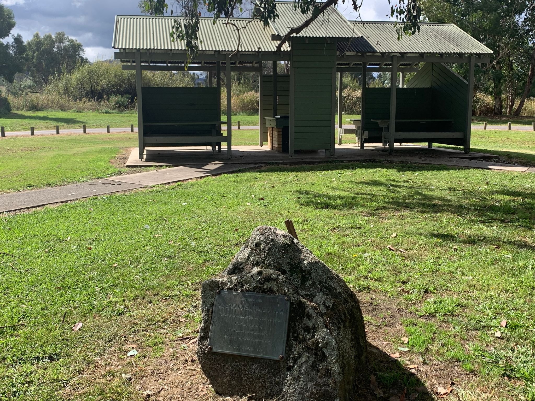
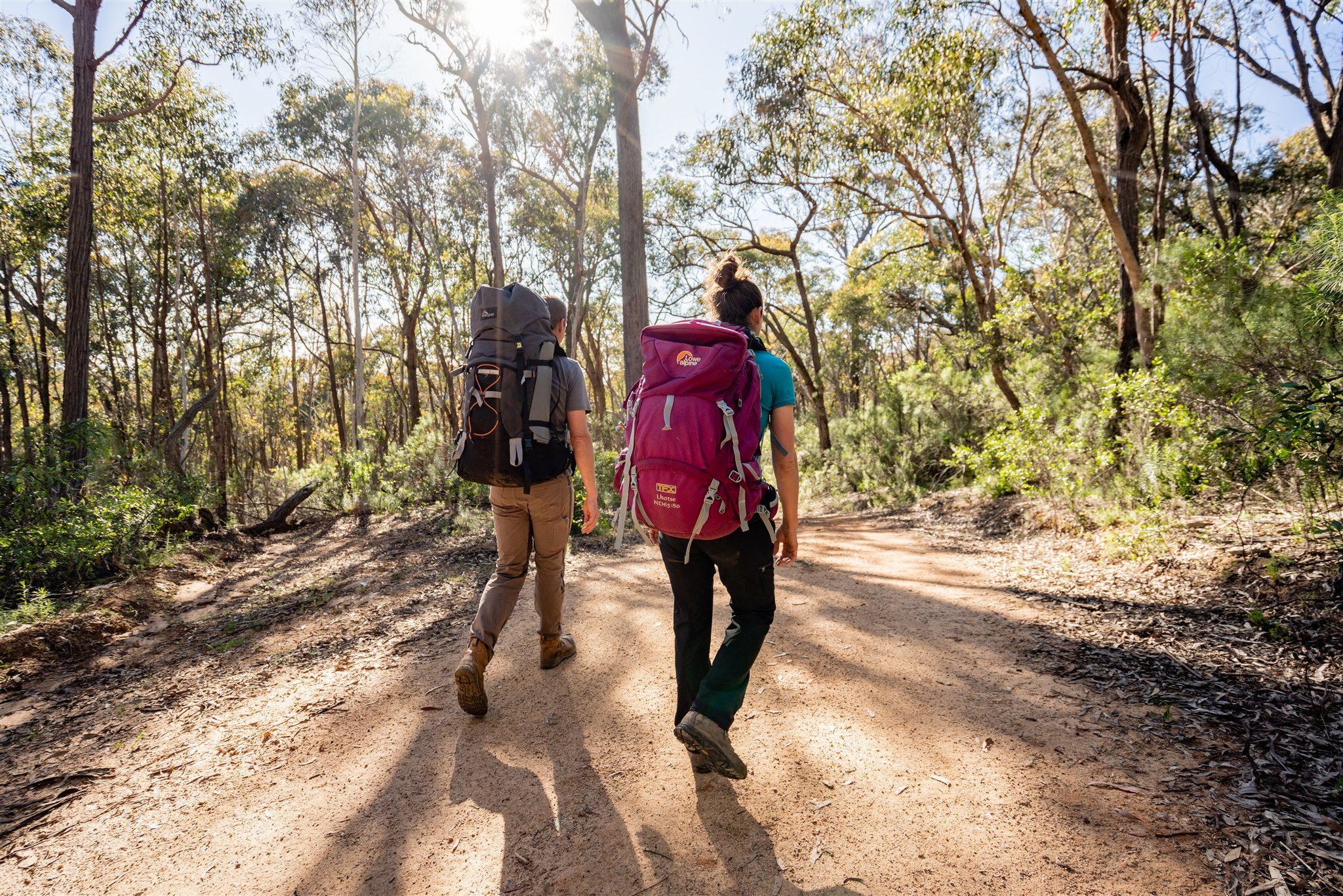
Above: Henry Angel Trackhead
The initial part of this section of the walking track has been designed as an easy and interesting day walk. It’s on a foot track following Burra Creek which, over 100 years ago, was an important alluvial gold and tin mining area. The mining changed the creek and the surrounding countryside extensively and descriptive plaques will help to make the mining activities clear to walkers.

Above: Woomargama National Park
Note the channel that has been cut through the rock. It’s hard to believe that these vertical rock walls are the result of the controlled use of dynamite. This cut, and other cuts upstream from it, were made so that upstream deposits (soil, sand, gravel, rock, tin and gold) trapped behind rock bars could be sluiced downstream and the gold and tin trapped.
4km from Henry Angel Trackhead, just north of the junction of Burra Ck and Tumbarumba Ck, the falls described by Hovell are reached.
Beyond Tumbarumba Creek, you enter the Bogandyera Nature Reserve. It’s a long climb to the top of the next ridge then an equally long drop down the other side to Mannus Creek, which contains the backed up water of Lake Mannus and is a haven for waterbirds.
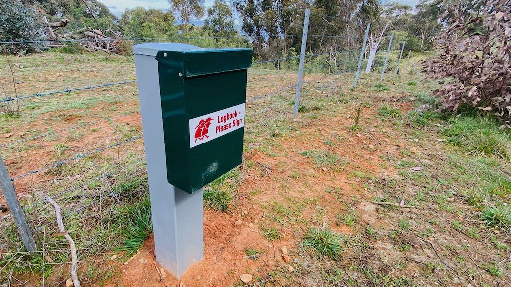
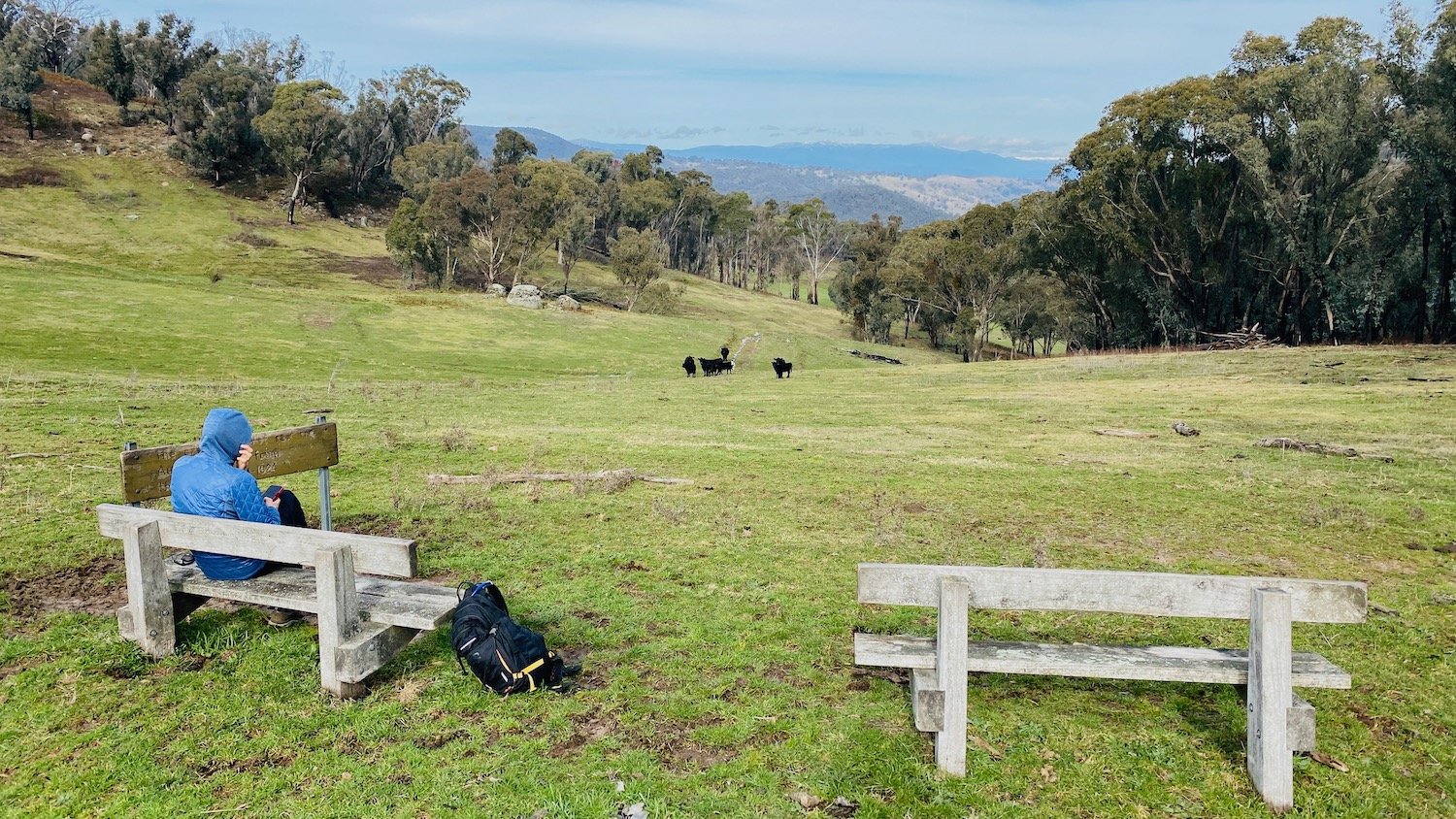
Above: Munderoo Logbook
From Mannus Lake Campsite (which offers waterfront views) a foot track along the edge of Mannus Lake is followed and then a gravel road is used to reach Mannus Campsite, a further 5.1km. From here it is 8km by road back to Tumbarumba.
The next 25km of the walking track is in Mannus and Mundaroo State Forests. Munderoo Campsite is 12.6km from Mannus Campsite but there are a couple of other spots to camp along the way.
Upon reaching the western boundary of Mundaroo State Forest, walkers will be above Carboona Gap on Jingellic Road. There’s a stile to help negotiate the fence and a visitors book, ready for perusal and signing, in an aluminium container.
About 11km of the track beyond Mundaroo State Forest is within the private property, ‘Clear Springs’. Please be reminded that you must stay on the track and not disturb stock. Camping and the lighting of fires are not permitted on private property.
The track crosses Coppabella Creek and then circles around the end of a ridge and heads back up Lankey’s Creek. The track crosses the creek and goes out onto the Jingellic - Holbrook Road, which has to be used for about 3.5km to reach Lankeys Creek Campsite. The campsite is a pleasant spot for an overnight stay. This must have been close to the explorers resting place where Hovell made a lengthy entry in his journal describing how the flies and mosquitoes were making conditions unbearable.
The walking track from Lankeys Creek to Albury is in much drier country and the forest, both eucalypt and pine, is much more susceptible to bushfire. The track through this section is more susceptible to bushfire than some of the northern sections.
After leaving Lankeys Creek Campsite follow the sealed Jingellic Rd for about 300m towards Holbrook. From here turn left onto a forest access trail. The track takes a steady uphill grade towards the west through a pine forest for 4km before reaching Woomargama National Park.
The track follows Tin Mines Road from the entrance to the park right through to Samuel Bollard Campsite, just west of Tunnel Rd. There are some wild flowers along this entire section of track plus many wattles, bearded heath, handsome flat pea, and sarsaparilla.
Beyond the Mandaring Trail intersection (to the north of the track) the road starts to descend and after about 4km you will reach a clearing containing Tin Mines Campsite, which is about 20km from Lankeys Creek Campsite.