Map Kits & Downloads
Map Kits
The Hume & Hovell Track Maps have recently been updated and cover the 5 sections of track plus an Index Map.
A direct link to the Hume & Hovell Map Kits can be found here: Hume & Hovell Track Map Kit
These maps have been published by the NSW Department of Planning and Environment - Crown Lands. They are $25 plus postage and can be purchased from the Department of Planning, Housing and Infrastructure Store.

Navigational aids
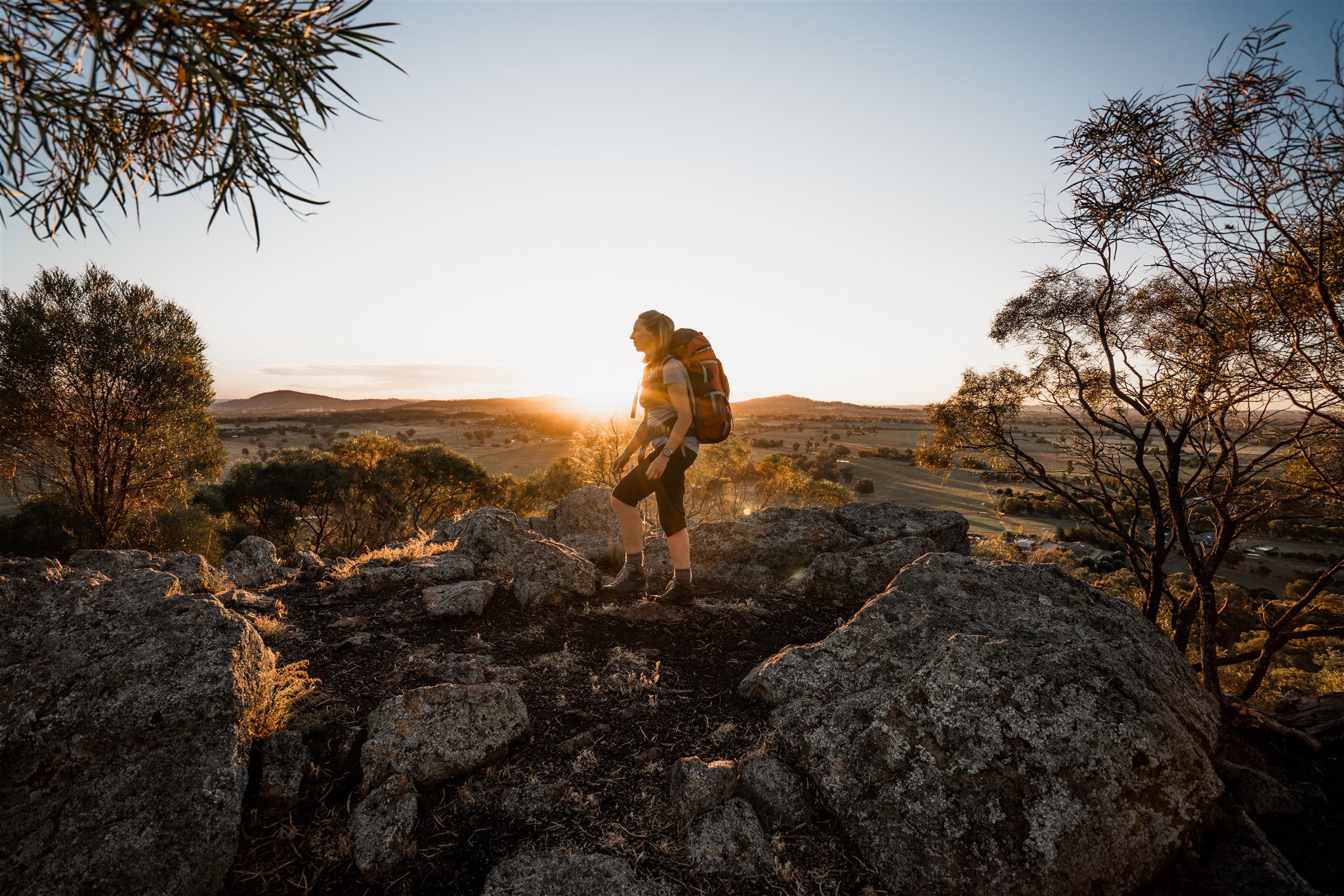
Although the track is now very well signposted, the reassurance of navigating by GPS and the extra information it provides is a great asset. On this page you'll find a range of resources to help with navigation on the track. These mapping resources will make your trip a lot more enjoyable by allowing you to see exactly where you are at any time, and how far it is to the next campsite or town.
Geo-referenced PDF maps
Geo-referenced maps are map images that contain map coordinates that tell mobile software (tablet or phone) where the map is positioned on the earth's surface. Coupled with the GPS hardware of your device, these maps can show you where you are on the map at any time, even when outside of the range of a mobile phone network or WiFi. The maps require the use of special software on your phone or tablet. We recommend Avenza's PDF Maps to render these files on your device.
The following maps have been produced in GeoPDF format and are available from the Avenza Map Store for free.
Map 1 - Cooma Cottage (Yass) to Fitzpatricks Trackhead (Wee Jasper) | Download GeoPDF | Map Store Link
Map 2 - Fitzpatrick Trackhead (Wee Jasper) to Blowering Reservoir (Tumut) | Download GeoPDF | Map Store Link
Map 3 - Blowering Reservoir (Tumut) to Lankey’s Creek (Holbrook) | Download GeoPDF | Map Store Link
Map 4 - Henry Angel Trackhead (Tumbarumba) to Tin Mines Campsite (Woomargama National Park) | Download GeoPDF | Map Store Link
Map 5 - Tin Mines Campsite (Woomargama National Park) to Hovell Tree (Albury) | Download GeoPDF | Map Store Link

Scan to get Map 1 on Avenza Maps

Scan to get Map 2 on Avenza Maps

Scan to get Map 3 on Avenza Maps

Scan to get Map 4 on Avenza Maps

Scan to get Map 5 on Avenza Maps
Download the App from The App Store or Google Play

GPX Downloads for GPS Devices
In this section you can download files for your GPS device. The file format provided is GPX, a universal GPS format which is compatible with most devices.
Short walks:
Burrinjuck Waters State Park through Burrinjuck Nature Reserve (4.5km) 15KB
Fitzpatrick Trackhead to Wee Jasper Nature Reserve (9.5km) 31KB
Fitzpatrick Trackhead to Mt Wee Jasper Summit (7.5km) 23KB
Pompey Pillar to Miller’s Creek (9km) 24KB
Micalong Creek campsite to Barrois campsite (7km) 19KB
Thomas Boyd Trackhead to The Hole (6km) 27KB
Thomas Boyd to Jack Cribb Bridge (4km) 8KB
Paddys River Dam to Buddong Falls (15km) 43KB
Paddys River Dam to Charcoal Gap Road (17km) 24KB
Henry Angel Trackhead to Mannus Lake (17km) 35KB
Horse Creek | Pascoes Dam (2.5km) 5KB
Munderoo logbook (Carboona Gap) to Lankeys Creek campsite (14km) 25KB
Norths Lookout, Tin Mines & Samuel Bollard (20km) 53KB
Samuel Bollard south to Wymah Road (18km) 22KB
Garmin Connect Course - Link
Maps & Downloads
Filters
No results found
No results match your search. Try removing a few filters.