Munderoo logbook (Carboona Gap) to Lankeys Creek campsite
This is a lovely descent from the Munderoo plateau down to the property “Clear Springs”, over Copabella Creek and then along Lankeys Creek. The Track goes through native bush and spectacular grass tree stands on Munderoo plateau, with views to the Murray River and Victoria. It then enters open grazing country before crossing Coppabella Creek and then following Lankeys Creek through grazed bush to Lankeys Creek campsite, one of the campsites used on the original expedition.
Distance: 15 km
Grade: Medium
Nearest towns:
Tumbarumba – 31km to Carboona Gap (approxiate) 51km to Lankeys Creek
Albury – 95km to Lankeys Creek

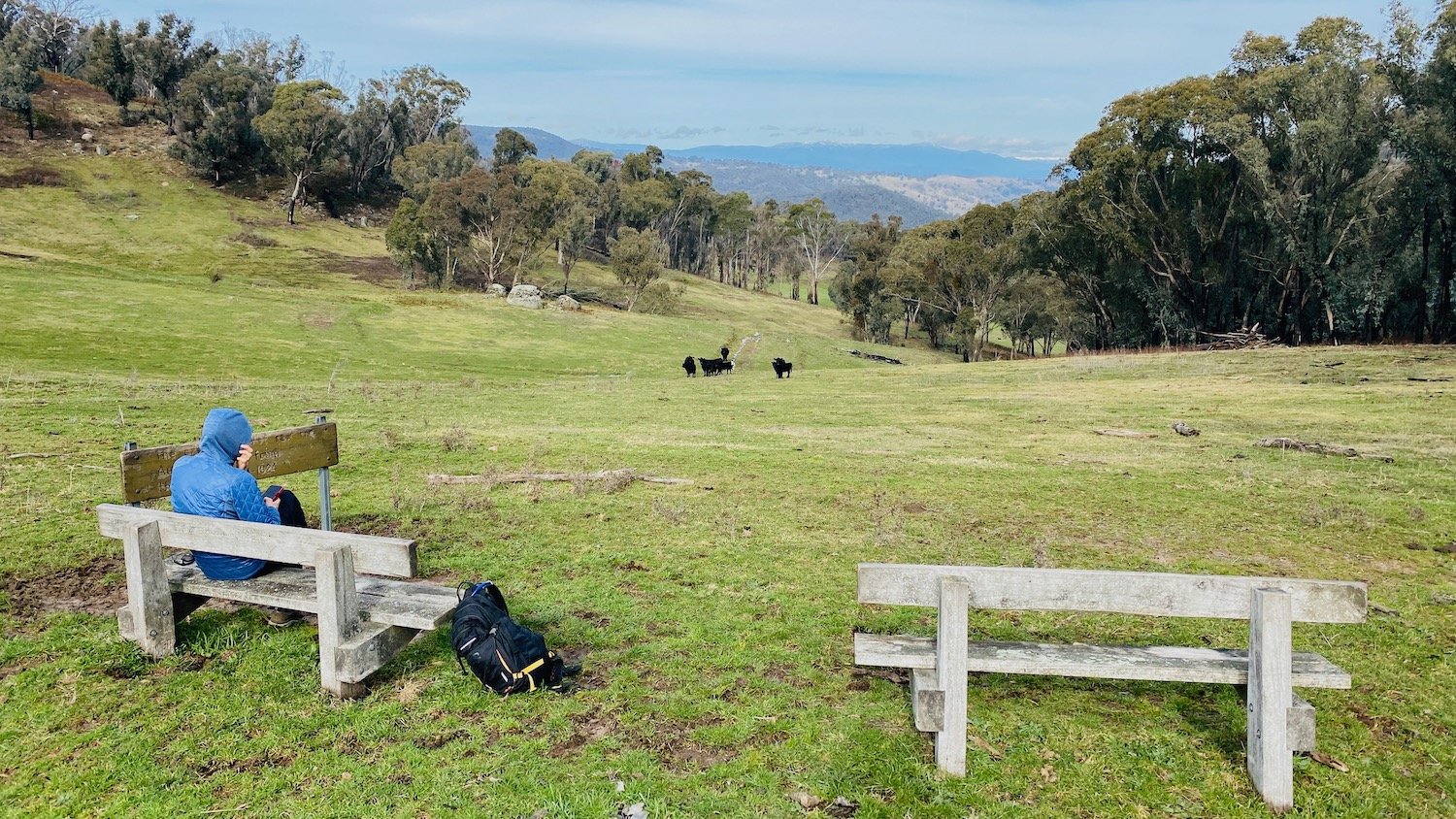
Above: Lankey’s Creek
Walking notes
This walk offers a lovely mix of native bush, expansive views and open grazing country. The Track follows single track through the bush for the 430m descent off Munderoo Plateau. It then peters out through the grazing lands but there are marker posts dotted through the paddocks to follow. It is a nice walk along Lankey’s Creek. This walk is located within the Mundaroo State Forest.
How to access the track
Carboona Gap / In Mundaroo Forest, turn left onto Blue Hills Road, left onto Burns Road, then right onto Hardys Road. Follow Hardys Road nearly to the end of the pine plantation on your right until you reach a stile over a new fence separating the pine forest from private property - the Hume and Hovell log book is on the left
Lankey's Creek Campsite / is accessed via a sharp, slightly hidden, right hand turn off Jingellic Road, 8.7kms from the turn off from Tumbarumba/Jingellic Road turnoff. It is marked by a Hume and Hovell marker post. There is a little spot to park a vehicle and the campsite is over the fence and a short walk down to the creek.
Maps and Downloads
Nearby highlights


Blowering Campsite to Henry Angel Trackhead (Tumbarumba)
97.5km / Estimated 42hrs / Grade: Easy-Medium